Book Tickets Online
About
The 31-mile 1066 Country Walk is a relatively easy, low-level route through countryside that witnessed the Norman Conquest. Starting at Pevensey Castle (though you can start in Rye), it passes Herstmonceux Castle, the historic 1066 Battle Abbey and Battlefield, medieval Winchelsea, ending in historic Rye.
Much of the walk passes through the High Weald Area of Outstanding Natural Beauty, a typical medieval landscape with rolling hills and valleys, atmospheric marshes, ancient woodland, historic towns, quaint villages, old churches, rustic farms, elegant estates, oast houses and windmills, and plenty of cosy pubs and cafés along the way.
Sculptures
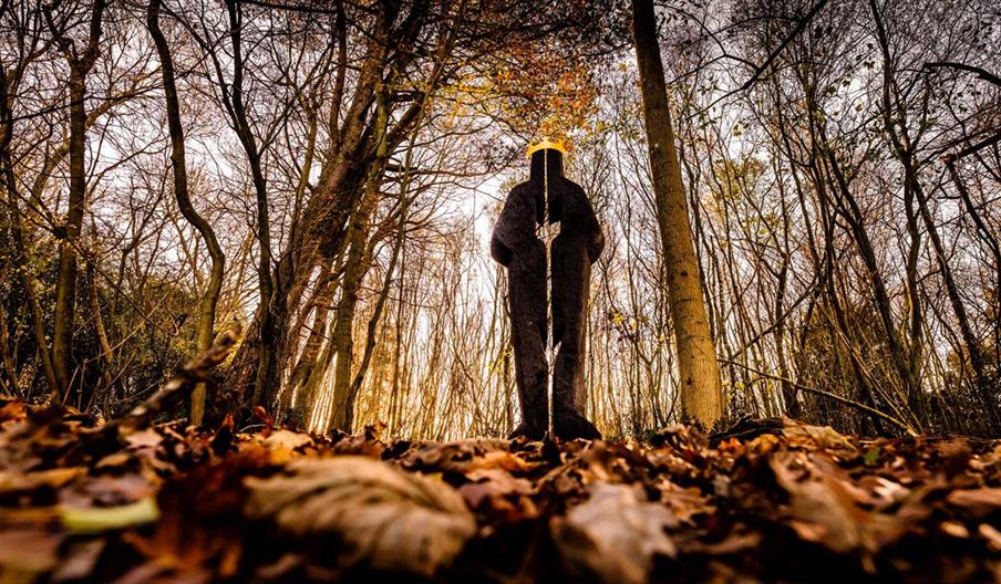
Created by local artist Keith Pettit, the ten wooden sculptures along the Walk are inspired by the Bayeux Tapestry and the heritage of 1066 Country.
The ten sculpture in order of location:
Landings Norman Longboat at Pevensey Castle (accessible by wheelchair)
Isti Mirant Stella Halley’s Comet crossed the sky just before the invasion, Herstmonceux Castle (accessible by wheelchair)
OS Map ref: TQ 64545 04820
Rest The horses that played a vital role in the invasion, Ash Tree Inn, Ashburnham
Window The animals depicted in the border of the Bayeux Tapestry, beside Great Park Farm (accessible by wheelchair)
OS Map ref: TQ 72697 14575
Bound Division King Harold, King William and the Crown, hidden in trees by the path, outside Battle Abbey OS Map ref: TQ 74465 15645
Hidden Truth The crown over which the battle was fought, Battle Great Woods
Farbanks Henge Monoliths overlook the Normans’ new realm, Hare Farm, Westfield OS Map ref: TQ 83095 16185#
Legacies Saxon and Norman roots entwine in the English language, Lower Snailham Farm, Guestling
The Watcher A sentry watching for the arriving Norman fleet, Wickham Manor Farm, Winchelsea OS Map ref: TQ 89825 16405
Treow (Old English for Tree) A Bayeux Tapestry tree, start of the path at Rye (accessible by wheelchair)
Map & Directions
Video
- 1066 Country Sculpture Walk


 to add an item to your Itinerary basket.


